
Table of Contents
ToggleLand surveying is critical to many industries, from construction to real estate development and urban planning. Surveyors have used traditional tools and methods to measure and map the land for decades.
However, advancements in technology are continuously transforming the surveying landscape. One such innovative solution is Scan to CAD Services. This technology utilizes 3D laser scanning and point cloud data to create precise digital models of surveyed areas, revolutionizing land surveyors’ work.
In this post, we will delve deeper into Scan to CAD for Land Surveyors, examining its benefits, its applications in land surveying, and why incorporating this technology is crucial for modern surveyors.
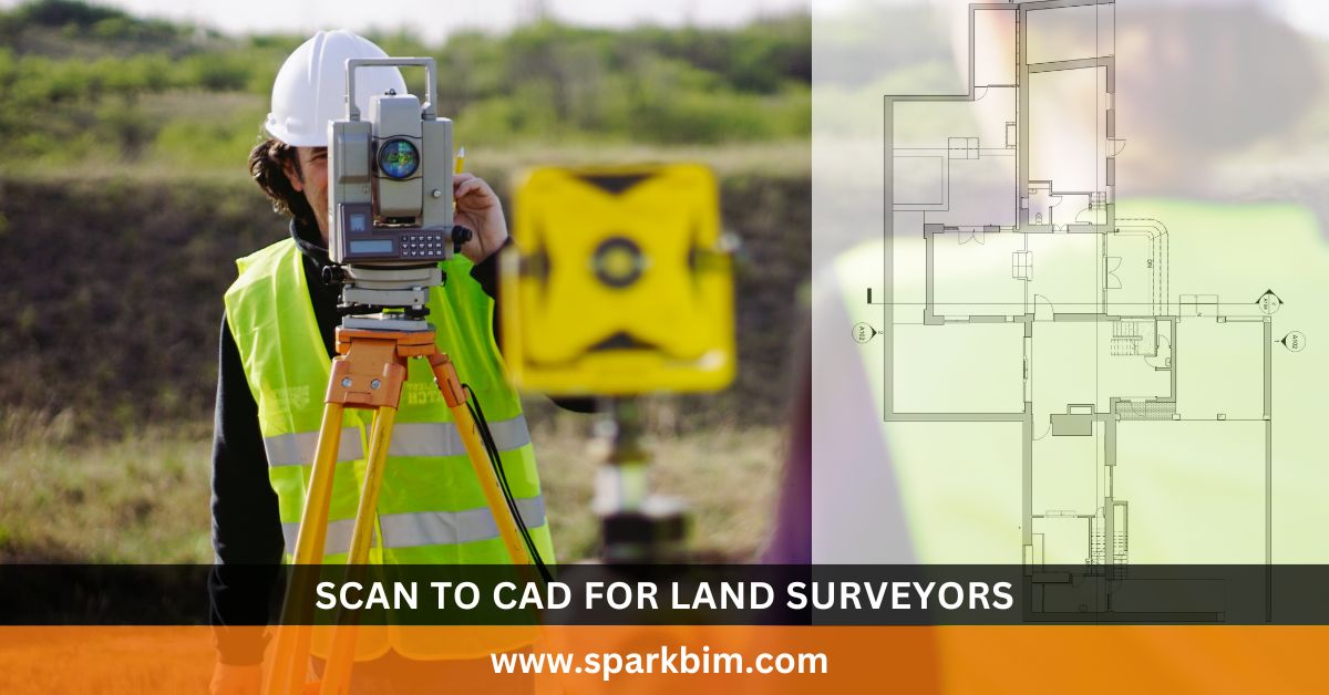
What is Scan to CAD for Land Surveyors
Scan to CAD converts point cloud data collected using 3D laser scanners – into accurate and editable CAD models.
The process involves capturing a detailed set of data points that represent the physical attributes of a site. These points are then processed using specialized software to create a 3D CAD model.
For Land Surveyors, this allows them to transform complex real-world data into usable digital formats, making it easier to create designs, plans, and models for further construction, renovation, or analysis.
To break it down, the process involves three primary steps:
1. 3D Laser Scanning
Land surveyors use advanced laser scanning technology to capture survey site data. This scanning process creates a point cloud, a dense collection of data points reflecting the site’s geometry.
2. Point Cloud Processing
After collecting the data, it is processed and refined to convert into a usable format. This data is cleaned and optimized for accurate modeling.
3. CAD Model Creation
The point cloud data is imported into CAD software and converted into an accurate and editable 3D model. This model can be used for various purposes, including design, construction, and documentation.
Why Land Surveyors Should Use Scan to CAD Services
1. Improved Accuracy
Surveying is all about precision, as even the most minor measurement error can result in significant issues. For a construction project, land division, or environmental analysis, precise data is essential.
Scan to CAD for Land Surveyors significantly enhance accuracy by providing millimeter-level precision.
Unlike traditional surveying methods that rely on manual calculations and instruments, 3D laser scanners provide a high-resolution, 360-degree scan of the entire surveyed area, capturing even the most minor details that might be missed.
With inherently accurate point clouds, the data is processed and converted into CAD models that preserve this precision. This ensures that the digital representation of the surveyed site is a replica of the physical land, leading to more accurate designs, plans, and structures.
Moreover, because Scan to CAD eliminates human error during data collection, land surveyors can avoid mistakes resulting from manual measurements or misinterpretation of data.
2. Faster Turnaround Time
Traditionally, land surveying was a time-consuming process that involved several stages, from fieldwork to data collection, analysis, and model creation.
With Scan to CAD services, the time it takes to gather data and create detailed models is drastically reduced. 3D laser scanners capture large amounts of data within minutes.
For example, a high-resolution laser scanner can scan an entire site in hours, compared to the days it would take using traditional methods like total stations and manual measurements. This speeds up the surveying process, allowing land surveyors to produce point clouds and CAD models much more quickly.
Scan to CAD services also allow surveyors to work on the collected data virtually without revisiting the site for additional measurements. This also reduces the time spent reviewing the physical location for re-surveys, often when data is incomplete or inaccurate.
The fast turnaround time provided by Survey to CAD benefits clients, as it allows surveyors to deliver results faster, which is especially critical when managing tight project deadlines or when multiple rounds of surveys are required.
3. Enhanced Visual Representation
One of the most significant advantages of Scan to CAD for Land Surveyors is the ability to create highly detailed and visually comprehensive 3D models.
Traditional surveying often involves the creation of 2D plans or sketches, which may not always fully convey the complexity of a site’s features. Visualizing the topography, infrastructure, and other essential elements for clients, architects, and contractors is much easier with 3D models.
Scan to CAD for surveyors provide a more intuitive and accurate representation of the surveyed area. Surveyors can create 3D CAD models that depict every physical feature of the land, including:
- Buildings and structures
- Roadways, paths, and drainage systems
- Topographical changes (e.g., slopes, elevations)
- Trees, rocks, and other natural features
The 3D model can be rotated, zoomed in, and viewed from different perspectives, giving all stakeholders a detailed view of the site. This makes it easier to identify potential challenges, such as uneven terrain or obstacles, which might not be as evident in a 2D representation.
Furthermore, integrating the 3D CAD model into Building Information Modeling (BIM) systems allows for more detailed collaboration and planning.
It aids engineers, architects, and construction teams by providing an accurate digital replica on which to base their work.
4. Cost Savings
While the initial investment in 3D laser scanners and CAD software may seem expensive, long-term savings far outweigh the upfront costs. Here’s how:
- Reduced Field Work Time: Since 3D laser scanning can collect large amounts of data quickly, surveyors can spend less time in the field, reducing labor costs.
- Fewer Errors and Rework: Accuracy is critical, and Scan to CAD services help to minimize errors that would require corrections in the future. Surveyors can avoid costly mistakes, rework, or the need for additional surveys.
- More Efficient Workflow: Scan to CAD streamlines the workflow by automatically converting point cloud data into a usable CAD format. This eliminates manual drafting and data input, saving time and money.
By reducing the number of manual tasks and improving the accuracy of survey data, Scan to CAD helps land surveyors become more efficient, cutting down on rework, field time, and project delays, which translates into significant cost savings.
5. Better Collaboration and Communication
In any construction or surveying project, collaboration is key. Effective communication between Surveyors, Architects, Engineers, and Contractors ensures that everyone is on the same page and that the project proceeds smoothly.
Scan to CAD Services improve collaboration by allowing all stakeholders to work from the same set of accurate data.
Instead of relying on paper-based sketches or hand-drawn plans, surveyors can share 3D CAD models with everyone involved. These models can be easily viewed, manipulated, and updated, making it easier for all parties to coordinate.
Additionally, because the 3D CAD model is highly detailed, it helps non-technical stakeholders—such as clients or regulatory bodies – understand the project’s scope, design, and challenges. This enhances communication and reduces the likelihood of misunderstandings or costly design changes later on.
Applications of Scan to CAD Services for Land Surveyors
1. Topographic Surveys
Topographic surveys are a staple of land surveying, providing detailed information about the natural and man-made features of a site.
With Survey to CAD, they can generate highly accurate topographic models that reflect the site’s physical features and precise dimensions, elevations, and slopes. These models are invaluable for urban planning, road design, and environmental assessments.
2. Site Plans and Mapping
For site planning, Scan to CAD technology enables surveyors to create detailed and accurate site maps for land development, zoning, and construction planning.
By transforming point cloud data into a digital model, surveyors can provide clients with reliable, easy-to-understand site plans optimized for design.
3. Building Surveying
Land Surveying CAD also plays a crucial role in building surveying, particularly for as-built models. Surveyors can create accurate 3D models of existing buildings, which is helpful for renovations, building maintenance, or structural analysis.
Architects and contractors can better plan renovations, upgrades, and repairs with precise as-built models.
4. Infrastructure and Utility Mapping
Scan to CAD services are invaluable for mapping complex infrastructure such as roads, bridges, utilities, and pipelines.
With 3D laser scanning, surveyors can create accurate maps of existing utility systems, aiding in maintenance, upgrades, and installations. This capability ensures that utility networks are efficiently planned and maintained for large-scale projects.
Conclusion
Incorporating Scan to CAD services into land surveying practices offers many benefits – from improved accuracy and faster turnaround times to cost savings and better collaboration.
By leveraging advanced 3D laser scanning and point cloud processing, land surveyors can provide more accurate, detailed, and actionable data for their clients. For surveyors looking to improve efficiency, reduce errors, and deliver high-quality results, adopting Scan to CAD services is a wise investment for the future of land surveying.