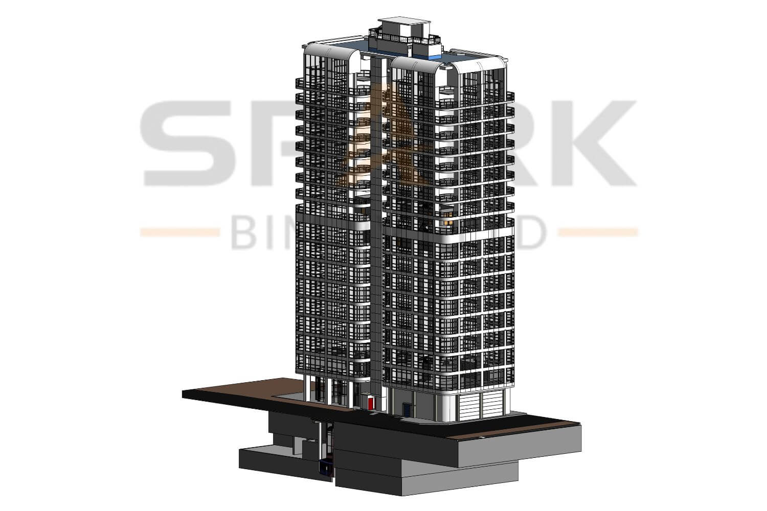
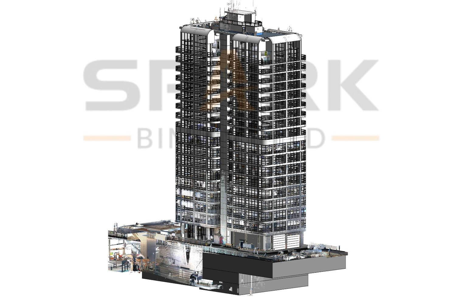
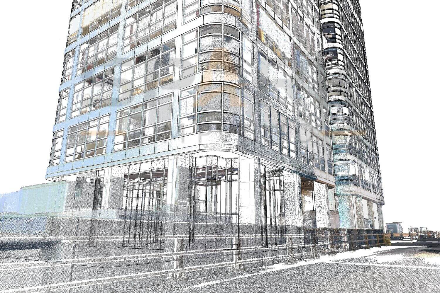
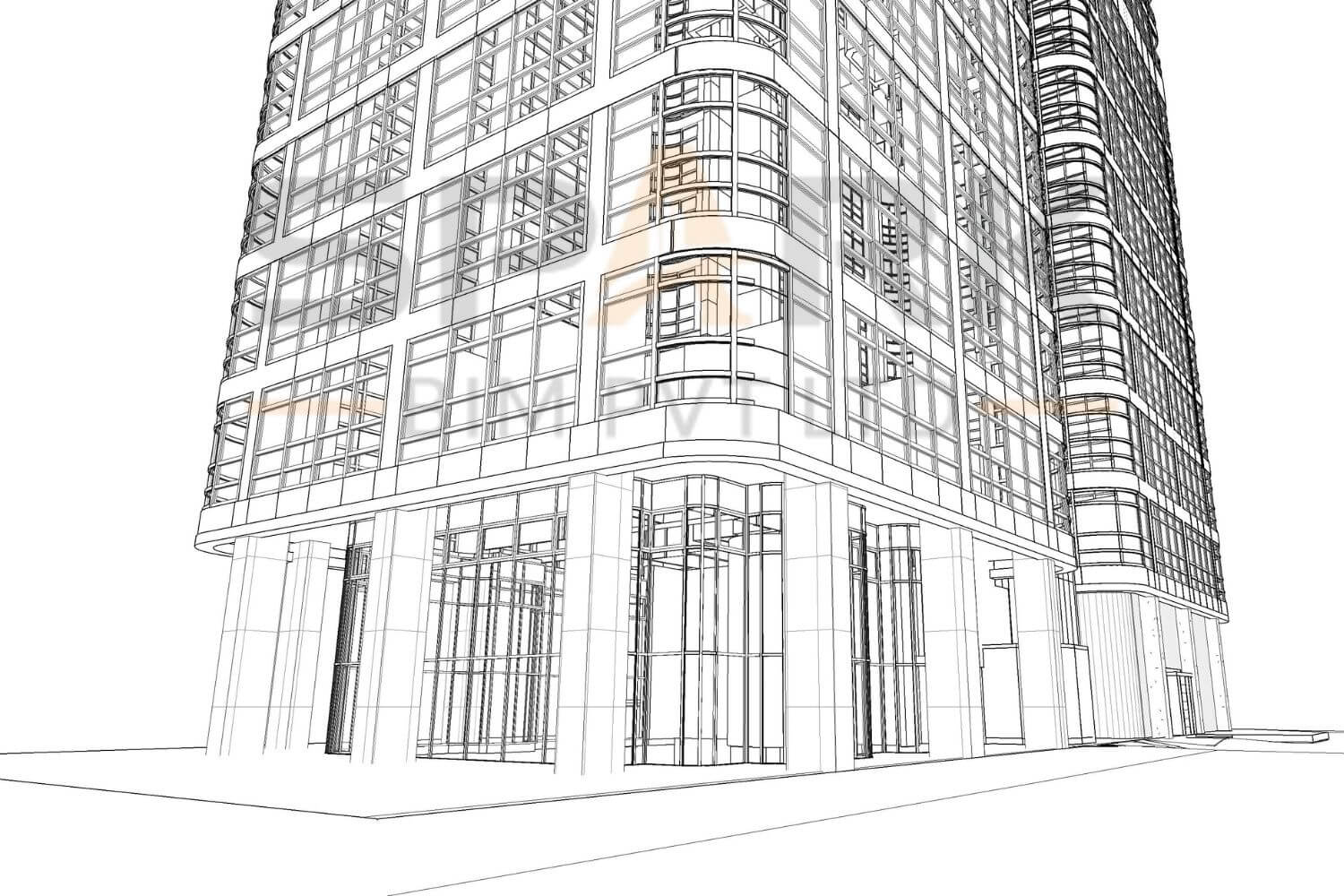
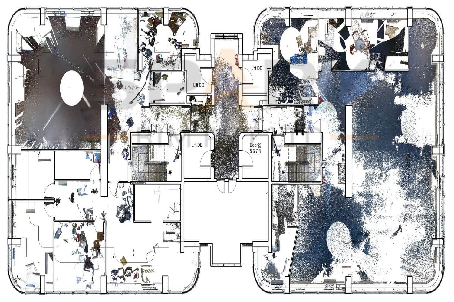
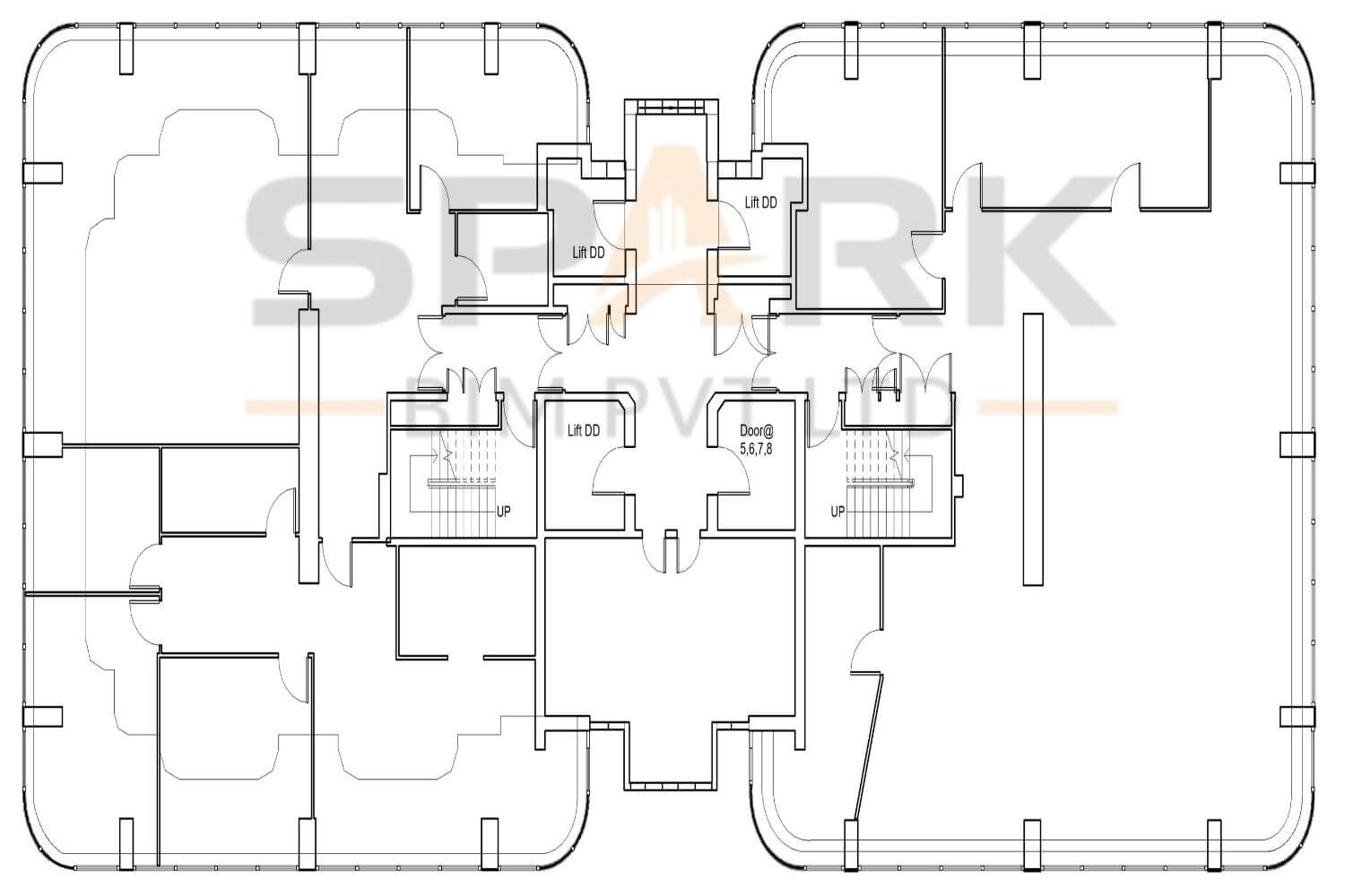
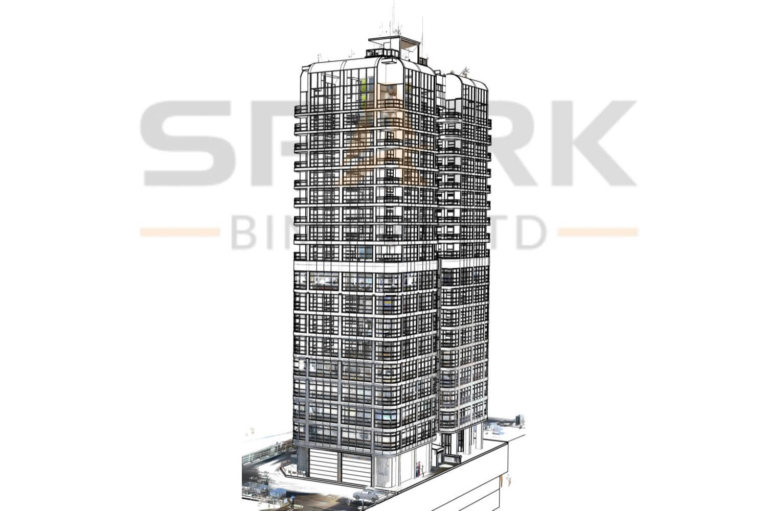
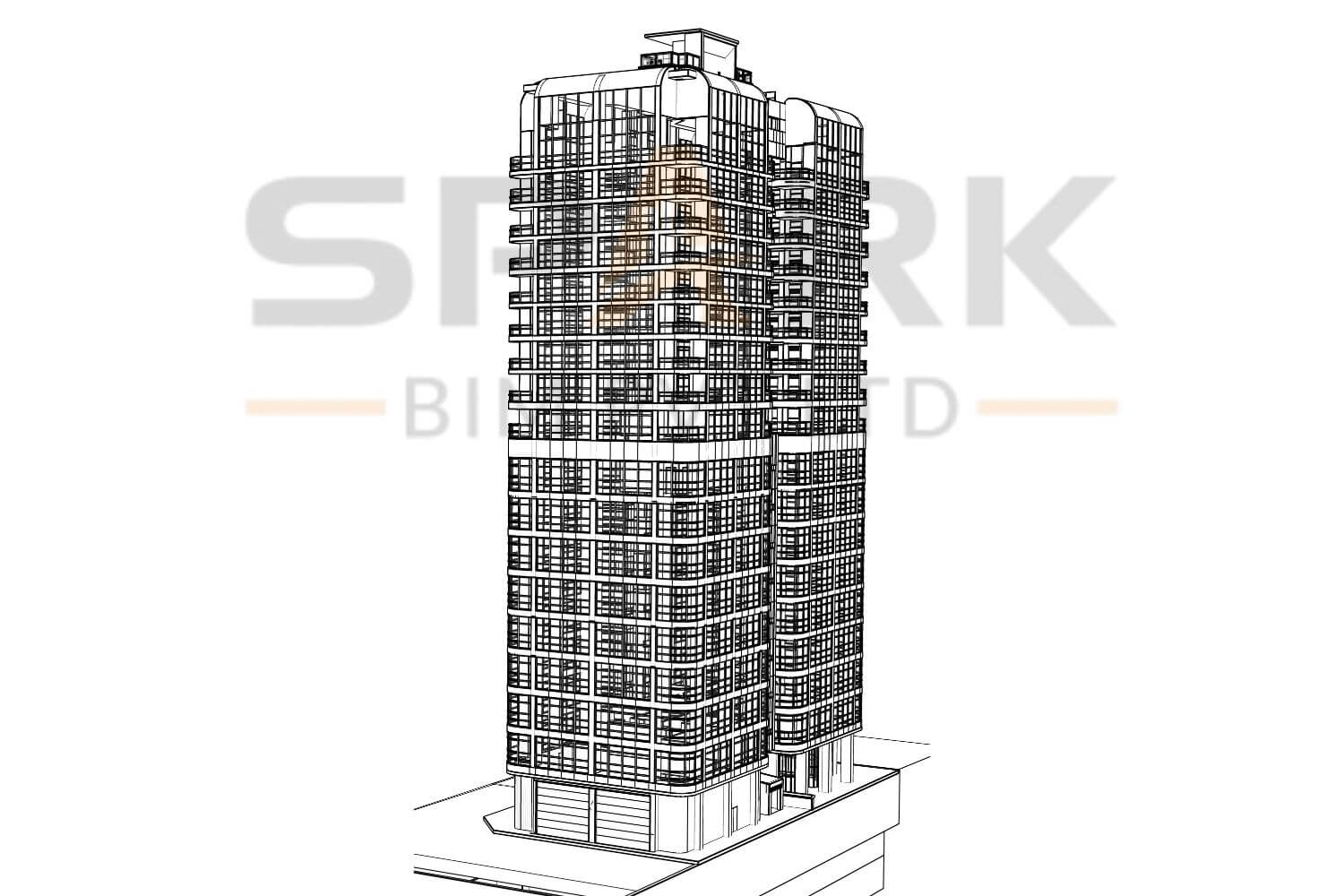
To convert high-precision laser-scanned point cloud data into a detailed and intelligent BIM model. This digital twin of the G+16 residential building will support future renovation, facility management, and asset lifecycle planning with data-rich accuracy.
Laser Scanned Data (.rcs), TruView Files (.lgsx)
Autodesk Revit, AutoCAD, Leica TruView, Autodesk ReCap
RVT (Revit Model), DWG (2D Drawings), PDF (Documentation Sets), OBJ (Mesh Geometry), IFC (Open BIM Format)
17900 SM
London
This project focused on transforming raw point cloud data captured via laser scanning into a Level of Detail (LOD) 300 Building Information Modeling (BIM) model for a G+16 residential structure. The purpose was to digitize the existing conditions for downstream applications such as renovation planning, facility operations, and structural analysis.
The process began with on-site 3D laser scanning to collect geometric data of the building. The raw scans were then processed to remove outliers, reduce noise, and accurately align the scans. After data refinement, a multidisciplinary team created a comprehensive BIM model incorporating architectural, structural, and basic MEP elements.
This as-built digital twin enables accurate documentation, clash detection, and space planning – all while aligning with industry BIM standards. The model is fully navigable and provides measurable geometry useful for FM, maintenance, and renovation design workflows.
Discover the power of BIM Construction Management through our latest case studies.